Europe protected a network, not a postcard
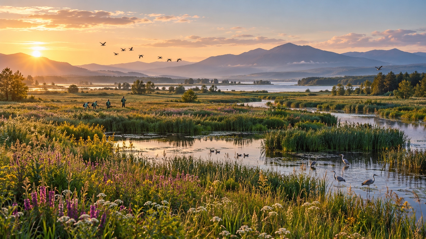
Natura 2000 is one of Europe's greatest acts of patient institution-building. The European Union did not create one giant continental park or transfer every forest, wetland and coast to Brussels. It agreed that the species and habitats Europeans share deserve common scientific criteria, a connected legal network and protection that survives a national border. More than 27,000 places now form the world's largest coordinated network of protected areas.
27,165 sites and a dated measure of scale
The latest exact indicator available when this article was reviewed covers the end of 2023: 27,165 Natura 2000 sites across the 27 EU countries, together covering 1,294,876 square kilometres. That amounted to 18.6% of EU land and 10.5% of its marine territory. A May 2026 Commission summary rounds the achievement to more than 27,000 sites, about one fifth of land and one tenth of surrounding seas. The dates and definitions matter more than a falsely timeless statistic.
Birds Directive, Habitats Directive and one network
Europe built the network through two laws. The Birds Directive requires countries to classify Special Protection Areas, or SPAs, for the most suitable territories for listed and migratory wild birds. The 1992 Habitats Directive protects specified habitat types and non-bird species through a second route. Sites from both routes overlap in many landscapes and together form Natura 2000. It is an EU network, not the same as every national park or every protected area in geographical Europe.
SPA, SCI and SAC: the labels reconciled
The Habitats Directive route has three labels that are easy to mistake for separate levels of quality. A country first proposes sites using ecological evidence. With the Member States, European Commission, European Environment Agency and scientific experts, they enter an EU biogeographical selection process and become Sites of Community Importance, or SCIs. The country must then designate each as a Special Area of Conservation, or SAC, normally within six years, and establish the necessary conservation measures. An SPA enters through the Birds Directive rather than this SCI-to-SAC sequence.
Who does what from Europe to the field
This architecture is proudly federal in the practical sense. EU law defines the shared objective, listed habitats and species, designation logic and minimum safeguards. The Commission coordinates biogeographical decisions and can enforce EU obligations. The EEA maintains European datasets and assessments. National and regional authorities designate, regulate and finance sites, write objectives and plans, issue permits and monitor condition. Landowners, municipalities, farmers, fishers, foresters, scientists and civil society turn those duties into work on the ground.
Human activity is compatible when conservation is real
A Natura 2000 boundary does not automatically prohibit people, farming, forestry, fishing, homes or tourism. The network was designed for European landscapes where human use and ecological value often coexist. The legal question is whether an activity is compatible with the site's conservation objectives and avoids deterioration or significant disturbance. A hay meadow may need continued low-intensity cutting; grazing can sustain open habitat; a wetland may need water levels restored; visitor access can remain while nesting areas receive seasonal protection.
Article 6 turns designation into decisions
Article 6 of the Habitats Directive makes the label operational. Paragraph 1 requires necessary conservation measures for SACs. Paragraph 2 requires countries to avoid deterioration of protected habitats and significant disturbance of protected species. Paragraph 3 creates a preventive decision path for a plan or project likely to have a significant effect, alone or in combination with others. The competent authority may agree only after an appropriate assessment establishes that site integrity will not be adversely affected.
Paragraph 4 is an exception, not a routine balancing test. If adverse effects cannot be excluded, a project can proceed only when no alternative solution exists, imperative reasons of overriding public interest justify it and compensatory measures protect the overall coherence of Natura 2000. Sites with priority habitats or species face stricter grounds. The point is not that Europe refuses every road, grid link or flood defence. It is that ecological damage must be examined before authorisation rather than explained away afterward.
A four-stage path for plans and projects
The resulting information-gain map has four stages. First ask whether the plan is directly connected to site management. If not, screen credible pathways to any affected Natura 2000 site, including effects beyond the project boundary. Where likely significant effects cannot be ruled out, assess them against site-specific conservation objectives. If site integrity cannot be protected through the proposal and mitigation, examine alternatives before the exceptional public-interest and compensation route. Each stage narrows the question instead of blending science, policy and compensation into one vague approval.
Connectivity, climate and public data
The network is bigger than its individual polygons. Migratory birds need several stopovers; rivers carry water, sediment and pollution across borders; marine species cross exclusive economic zones; and climate change shifts suitable habitat. Natura 2000 makes countries report and plan in a shared vocabulary. The Commission's March 2026 climate adaptation guidance explicitly asks managers to strengthen resilience, connectivity and adaptive planning rather than treating old site conditions as permanently fixed.
Public data turns that promise into something a citizen can inspect. The EEA Natura 2000 viewer maps site boundaries and Standard Data Forms supplied by Member States. The forms record the designation, area, habitats, species and other characteristics, but they are not a substitute for the competent authority's current legal map or management decision. The viewer itself warns that its 2024 dataset is for general information and directs users to official Commission decisions and national publications for authoritative status.
Shared observation improves the evidence base. National surveys and six-year reporting under the nature directives provide the legal assessments; research projects and remote sensing help authorities understand land cover, water and change. The Copernicus programme supplies open European Earth-observation capacity that can support land, marine, climate and emergency analysis. A satellite image does not declare a site healthy, but continental observation makes gaps and trends harder to ignore.
Evidence of benefit—and the conservation gap
There is evidence that the network matters. The EEA finds that land-use change is generally more marked outside Natura 2000 and that habitats better represented inside the network can show better conservation status. Bogs, mires and fens are one example. This does not prove every favourable trend was caused by designation alone; site selection, local measures and wider policy also matter. It does show why a coherent protected network is more than coloured polygons on a European map.
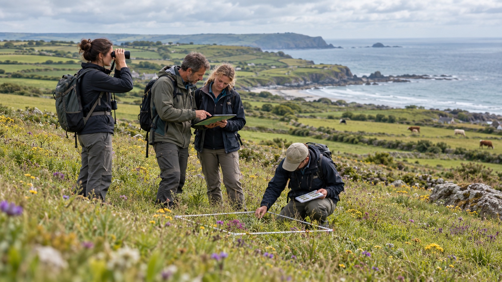
Europe should be proud without confusing coverage with recovery. The latest full nature assessment remains severe: only 15% of habitat assessments were in good conservation status, while 81% were poor or bad; only 27% of protected-species assessments were good and 63% poor or bad. Those figures chiefly cover the 2013–2018 reporting period and are not a 2026 census. Agriculture, land take, pollution, forestry pressures, invasive species and climate change continue across and beyond site boundaries.
That limitation strengthens the achievement's meaning. Before Natura 2000, countries could protect isolated scenic places under incomparable categories while cross-border habitats declined without one common accountability system. The network does not guarantee success, but it creates legal objectives, data, assessment, funding priorities, court-enforceable duties and a public geography of responsibility. Europe can now see that protection is incomplete because it built a system capable of revealing the gap.
Financing the work behind the boundary
Management needs money as well as law. The Commission estimates annual needs of about €10.2 billion for Natura 2000, wider green infrastructure, horizontal measures and species action. Member States set priorities through Prioritised Action Frameworks and remain responsible for financing, while the Common Agricultural Policy, cohesion funds, fisheries instruments, Horizon Europe and other programmes can contribute. Since 1992, LIFE has co-financed more than 1,800 nature projects benefiting more than 5,400 Natura 2000 sites.
Ecosystem services without inflated claims
The benefits reach beyond rare-species counts. Healthy wetlands store and slow water, dunes buffer coasts, pollinators support crops, forests hold carbon and landscapes support recreation and rural economies. Older Commission studies put the network's ecosystem-service value in the order of €200–300 billion a year and estimated 4.4 million jobs depend on healthy European ecosystems. These are modelled orders of magnitude, not cash revenue created automatically by a designation.
Restoration, resilience and wider Europe
Natura 2000 also sits beside newer policy rather than being replaced by it. The EU Nature Restoration Regulation requires recovery measures across ecosystems, including work that can improve habitats inside and outside the network. The EU Emissions Trading System addresses emissions through a different instrument, and the Civil Protection Mechanism supports disaster response. Carbon pricing, emergency capacity and protected sites solve different parts of Europe's ecological resilience.
The network extends European influence without pretending the EU equals Europe. Natura 2000 applies in the EU. The Bern Convention's Emerald Network uses compatible principles across a wider set of European countries, and marine protection also involves regional sea conventions. Migratory species connect Europe to Africa, Asia and the Atlantic. European pride is strongest when it credits these partner systems and treats ecological connectivity as a reason for cooperation, not a claim of ownership over nature.
The next test for a living European network
The next test is implementation: complete conservation objectives, fund management, improve marine effectiveness, connect fragmented habitats, make assessment independent, publish usable monitoring data and involve the people whose livelihoods shape each site. Development decisions need enough early ecological evidence to find genuine alternatives, not a late report written after the preferred route has hardened into politics.
Natura 2000 deserves European pride because it changes the default scale of responsibility. A bird, river, dune system or wetland does not become foreign at a border, and Europe's law no longer treats it that way. National administrations and local stewards keep their knowledge and powers, but they work inside one network whose coherence every country has promised to protect. That is shared sovereignty expressed in living landscapes.