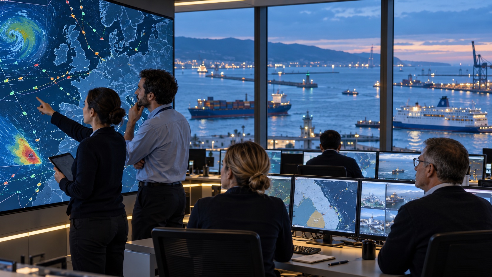
Europe made one safety environment from many jurisdictions
Europe's seas are one connected operating environment even though responsibility remains national. A tanker leaving Rotterdam can pass several coastal jurisdictions, carry dangerous goods to another port, sail under a third country's flag and be owned elsewhere. Smoke, unsafe working conditions, an oil slick or a casualty does not become easier to manage because a legal border lies across the water. Europe answered by building shared information and technical capacity around the authorities that already govern ships and coasts.
What EMSA is—and what it is not
The institutional centre is the European Maritime Safety Agency in Lisbon. EMSA was created after major tanker disasters exposed the cost of fragmented oversight. Its current mandate under Regulation (EU) 2025/2434 covers maritime safety and security support, pollution prevention and response, sustainability and decarbonisation, digitalisation, surveillance and technical assistance. It is an EU agency, not a European coastguard and not the International Maritime Organization.
Responsibility map: EU, agency, states and international rules
That distinction is the first responsibility map. EU legislators make common law and the Commission oversees implementation. EMSA builds systems, supplies analysis, visits national administrations, supports inspections and offers services or assets. Flag states supervise ships registered under their flag. Port and coastal states inspect, verify, enforce and respond in their waters. Independent national bodies investigate qualifying casualties. The IMO and regional agreements provide wider international rules. Shared capacity works because those roles connect, not because Lisbon replaces them.
SafeSeaNet connects the maritime traffic picture
SafeSeaNet is the information backbone. National systems exchange ship identity, position, course and speed, port arrival and departure, voyage and cargo information, dangerous or polluting goods, incidents and other mandatory reports through a European index and authorised interface. Automatic Identification System signals contribute positions near shore, while authorities and ports provide the reports that radio signals alone cannot contain.
The result is a pan-European traffic picture for authorised public users, not a public ship-tracking website. One member state's authority can retrieve information relevant to a vessel reported by another. A port call can be joined to cargo, incident and safety information without each administration rebuilding the same connection from scratch. The achievement is interoperability: national systems keep operating while the European layer makes their data useful across borders.
THETIS turns shared data into risk-based inspections
THETIS turns shared traffic information into inspection work. Port state control is the second line of defence when a foreign ship enters port. EMSA's system combines expected port calls with ship particulars, flag and company performance, previous deficiencies and detentions to calculate a risk profile and inspection priority. Authorities in the Paris Memorandum of Understanding area use it to plan, record and follow up inspections; EMSA says about 14,000 port-state-control inspections take place in the EU each year.
The system does not let an algorithm detain a ship. National port-state-control officers inspect certificates, equipment, hull and machinery, pollution controls, safety management and crew living and working conditions under the applicable regime. THETIS supplies the shared record and targeting logic. The officer and competent authority make the legal decision. This separation is a feature: European information improves consistency while accountable authorities retain enforcement power.
EMCIP turns casualties into continental learning
Casualty evidence forms another layer. Member states, Iceland and Norway report qualifying marine casualties and incidents to the European Marine Casualty Information Platform, or EMCIP. National investigation bodies decide and conduct investigations under the legal rules; EMSA maintains the platform, supports common methods and publishes aggregate analysis. The 2025 European Maritime Safety Report found an average of 2,344 accidents a year from 2019 to 2023 involving at least one EU-flagged ship within its scope. A shared evidence base turns separate tragedies and near misses into continental learning.
The data is not a league table of safe and unsafe countries. Reporting scope, fleet activity, exposure and event type matter. Its value is the ability to examine recurring accident patterns, ship types, injuries, pollution, investigation recommendations and emerging risks across a larger sample than most national administrations could assemble alone. The next test is improving completeness, data quality and the conversion of findings into prevention.
CleanSeaNet detects suspected pollution from space
CleanSeaNet adds eyes in space. EMSA orders and analyses synthetic-aperture-radar satellite images that work day or night and through cloud. Operators combine possible slicks with vessel detections, Automatic Identification System information, weather and ocean data, then send an alert and analysed image to the relevant national contact in near real time. Optical imagery and drift modelling can support verification and follow-up.
A satellite alert is not a pollution conviction. Radar can detect a surface feature consistent with oil, but coastal authorities must verify it, identify a source, collect admissible evidence and decide enforcement or response. The European layer increases the chance that a discharge is noticed quickly and connected to a potential vessel; national authorities supply the inspection, sampling, legal process and operational action. That evidence boundary protects both effectiveness and fairness.
From ship report to national action
The information-gain chain is now visible. A ship transmits and reports; SafeSeaNet connects the voyage and port record. THETIS uses calls and history to support risk-based inspection. CleanSeaNet may detect a surface anomaly and link it to traffic evidence. The coastal state verifies and acts. If a casualty occurs, independent investigators report findings through EMCIP. EMSA and the Commission analyse the larger pattern, and legislators or authorities can change rules, inspection focus, training or equipment.
Shared vessels and equipment add strategic depth
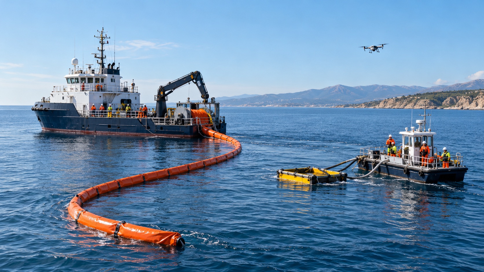
Europe also built a top-up response toolbox for incidents that exceed normal national capacity. EMSA contracts commercial vessels adapted for oil recovery. They continue ordinary work while on stand-by and, after a valid request, can be readied to sail within a maximum of 24 hours. Equipment stockpiles with booms, skimmers, workboats, storage and specialised pumps can be mobilised within 12 hours, excluding transit. Chemical advice, modelling and other services complete the toolbox.
These assets do not arrive as a parallel European command. The affected coastal state requests assistance, selects what it needs and exercises operational control. National and regional resources remain the first response; EMSA adds capacity, common contracts, readiness exercises and equipment that would be inefficient for every country to duplicate at full scale. That is a federal pattern in practice: local command supported by shared strategic depth.
The operational 2026 snapshot and the next procurement
The 2026 capability snapshot separates what exists from what is expanding. SafeSeaNet, THETIS, EMCIP and CleanSeaNet are operational. Stand-by vessels and equipment assistance are operational on request. EMSA's current stockpile page lists facilities in Denmark, the Netherlands, Finland, Italy and Bulgaria. CleanSeaNet's core oil-spill service is operational, while wider systematic monitoring of sewage, garbage and packaged pollutants is an extension under implementation rather than a completed capability.
Remote aircraft show the same boundary. EMSA has used remotely piloted aircraft for maritime surveillance and emissions support. Its 2026 output plan records failed procurements for a port emissions-monitoring capability in 2024 and 2025 and aims to restore that service for 2027 operations. Naming the delay does not weaken the achievement. It prevents a planned procurement from being presented as a live fleet and gives the public a measurable update trigger.
European capability inside global maritime cooperation
The system is European but not isolated. Copernicus Sentinel imagery underpins parts of pollution detection; the Copernicus achievement is the observation layer behind many public services. Iceland, Norway, the United Kingdom and other Paris MoU partners participate in parts of inspection or casualty cooperation. IMO conventions shape global shipping obligations. EMSA also cooperates with Frontex and the European Fisheries Control Agency within distinct mandates. Maritime safety is strongest when institutional credit follows the actual work.
Nor should surveillance be confused with universal access. SafeSeaNet and operational tools contain sensitive or regulated information and are available to authorised authorities under defined purposes. Public transparency comes through law, reports, statistics, published inspection records and access rules—not by exposing every operational screen. Digital systems also need cybersecurity, resilient communications, accurate identity data and disciplined access control.
New fuels, digital resilience and the next test
Shipping is changing faster than an old safety model can absorb. Alternative fuels bring fire, toxicity and spill behaviours that response teams must understand. Larger ships and ageing fleets alter consequence and inspection risk. Decarbonisation adds emissions verification and FuelEU Maritime work. Autonomous and remotely operated systems change human responsibility. Geopolitical pressure and deliberate infrastructure damage complicate what once looked like ordinary transport safety. EMSA's new mandate recognises those tasks; resources and measurable delivery must now catch up.
Europe can be proud because it converted repeated maritime lessons into durable public infrastructure. A vessel report no longer has to stop at one port database. An inspection history can follow the ship. A suspected slick can be seen from orbit and sent to the responsible coast. An accident can add evidence to a continental record. A country facing a major spill can request prepared vessels and equipment instead of beginning procurement during the emergency.
The next achievement is not a slogan about controlling the sea. It is quieter and harder: reliable data, skilled inspectors and investigators, verified satellite alerts, interoperable systems, trained crews, ready equipment, honest performance reporting and clear national command. Europe has already built the network. Keeping it trusted, adequately resourced and ready for new fuels and risks is the next test of the same European capacity.